CURRENT CONDITIONS
Updated
-
Today's Outlook
-
Visibility
-
Snow (cm)24h3day7day
-
Conditions
-
Base (cm)BottomTop
-
Lifts open
-
Runs (%)
-
Temperature (°C)CurrentFeels Like
-
Road
-
Wind (km/h)
-
Barometric Pressure

Conditions
Snow Report of the day.
Mar 03 2026 07:37 AM
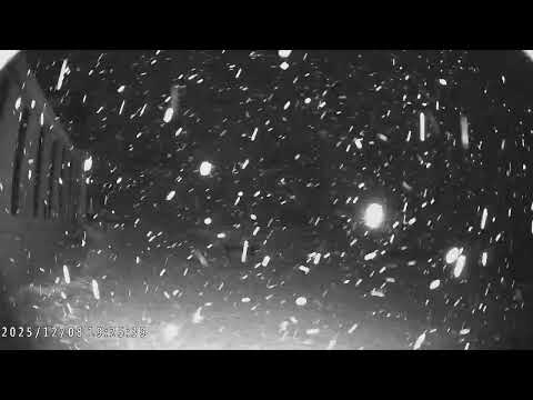
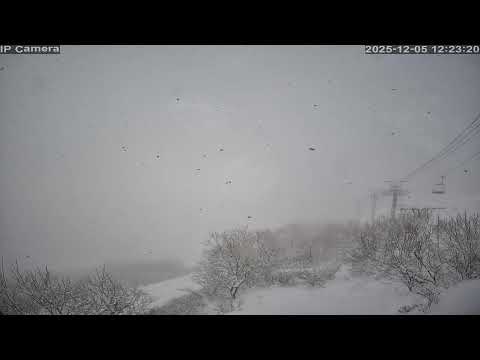
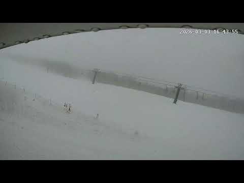
Not the most pleasant morning with rain in town but it is snowing at mid-mountain levels and above with about few cms of wet snow so far. The latest models are calling another 20-25cms over the next 24 hours but temps will be marginal, hopefully we'll see snow levels drop during the day. Visibility is variable, poor in open areas, but there will be some fun shallow freshies up high. Have a good one.
Reggae Elliss
|
WEATHER GRAPH For 820m - Last updated 13 hours ago |
|
|||||||||||||||||||||||||||||||||||||||||||


SNOW REPORT & LIFT STATUS
八方尾根
岩岳
栂池高原
Hakuba 47
五竜
コルチナ
乗鞍
さのさか
爺ヶ岳
鹿島槍リゾート
気温
リフト
新雪
シーズン
深さ
表面
リフトステータス
気温
リフト
新雪
シーズン
深さ
表面
リフトステータス
気温
リフト
新雪
シーズン
深さ
表面
リフトステータス
気温
リフト
新雪
シーズン
深さ
表面
リフトステータス
気温
リフト
新雪
シーズン
深さ
表面
リフトステータス
気温
リフト
新雪
シーズン
深さ
表面
リフトステータス
気温
リフト
新雪
シーズン
深さ
表面
リフトステータス
気温
リフト
新雪
シーズン
深さ
表面
リフトステータス
気温
リフト
新雪
シーズン
深さ
表面
リフトステータス
気温
リフト
新雪
シーズン
深さ
表面
リフトステータス
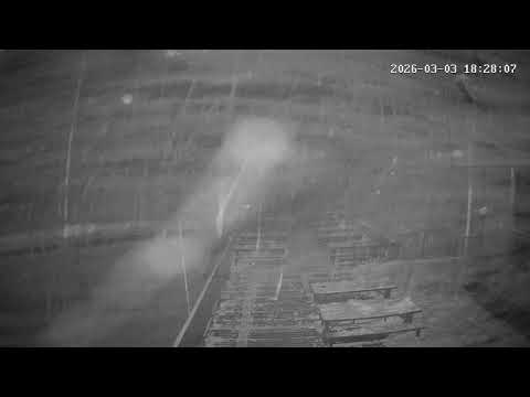
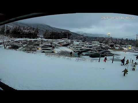
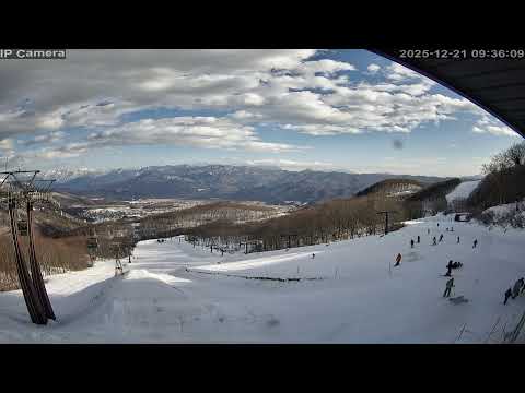
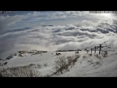
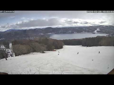
MOUNTAIN CAMS
Happo-One - Usagidaira
Happo-One - Alpen Quad
Happo-One - Gondola Shirakaba
Happo-One - Panorama
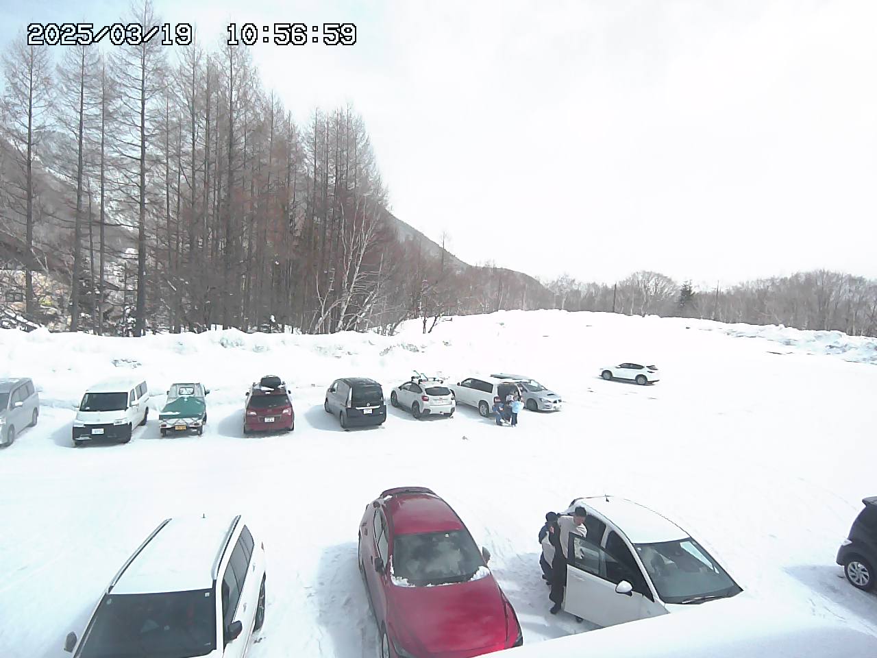
Happo-One - Car Park 3
Hakuba Goryu - 五竜 アルプス平 北側 north
Hakuba Goryu - 五竜 アルプス平 西側 west
Hakuba Goryu - アルプス平 パノラマゲレンデ
Hakuba Goryu - 五竜 第2駐車場
Hakuba 47
Hakuba 47
Hakuba 47
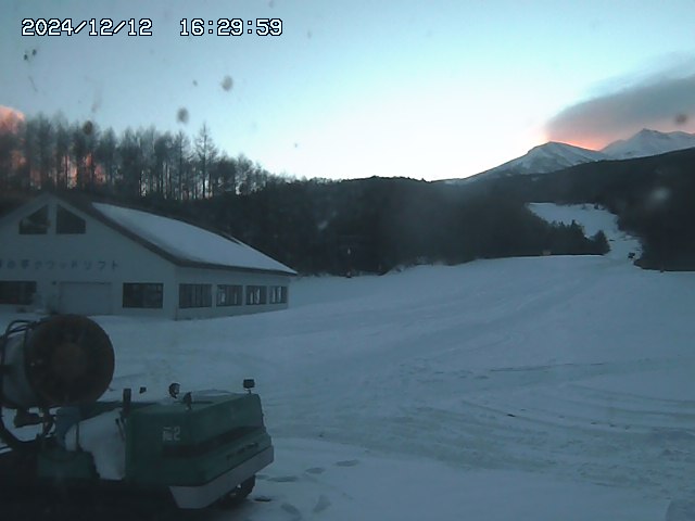
Norikura - Yamaboshi Parking
Norikura - Dream Flat
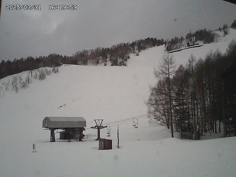
Norikura - Paradise Course
Norikura - Kamoshika Course

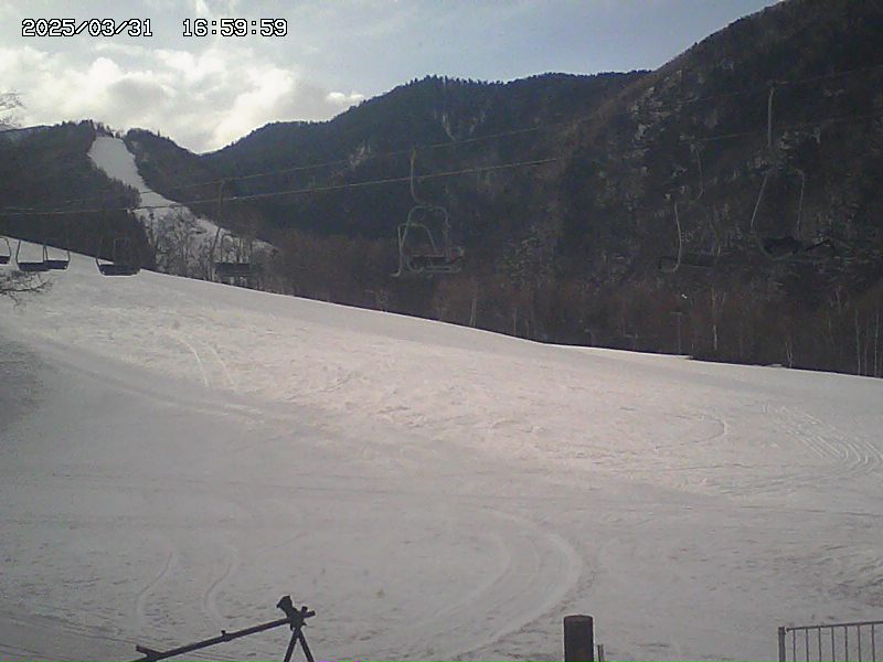
コルチナ


DETAILED FORECAST
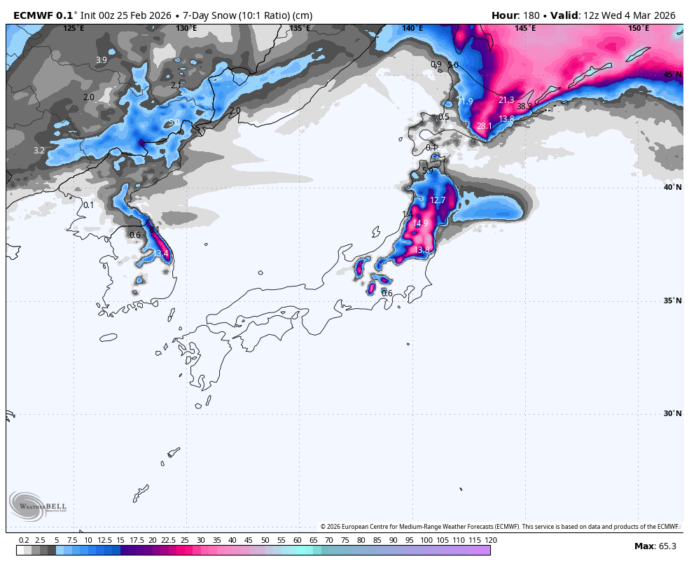
Weekly Japan Forecast – Unconventional Snow in Third Spring-Like Week
Written late Wednesday, 25th February (Japan Standard Time)
After a couple of warm, spring-like weeks with low snowfall, things will stay the course for a third consecutive week. Somewhat of a come-down after the major high’s of an epic Japanuary and start to February.
Nevertheless, we can bask in warm, dry, sunny weather on Thursday and Friday, before a low passing in the Pacific brings an unconventional mix of rain and dense snow to Hokkaido this weekend. Cold northwesterlies on the backside of the low will thankfully dress it up with a little regular Japow.
Monday will be another fine day before another warm storm from the southwest brings a mix of rain and snow to the country sometime from Tuesday to Thursday, favouring either Northern Honshu or Hokkaido, or both, for the deepest totals.
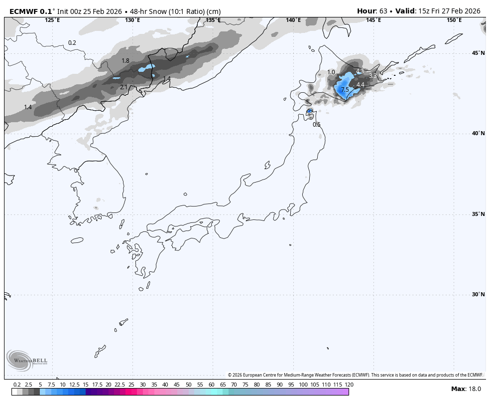
Thursday 26th & Friday 27th February
It was a wet, grotty ol’ day for Honshu yesterday after a low-pressure system from the southwest brought warm temperatures and widespread rain. Fortunately, the heaviest rain fell on the Pacific side, away from many of the major resorts, and the northern tip of the island picked up some dense snow early in the day.
Thursday and Friday will be warm and mostly dry as the low parks itself off the east coast of Honshu, directing an easterly flow over the country. There’ll be plenty of sunshine too, especially for central Honshu and Hokkaido, whereas some resorts in northern Honshu will be rather clagged-in with cloud and even a little drizzle at times, especially on Friday.
Humid easterlies will also spread cloud over Hokkaido early Friday, before snow pushes in from the south and east Friday night. This won’t be the usual light n’ fluffy Japow, but the dense, lower-quality stuff, with rain likely falling to high elevations in the western half of the island where a lot of the major resorts are.
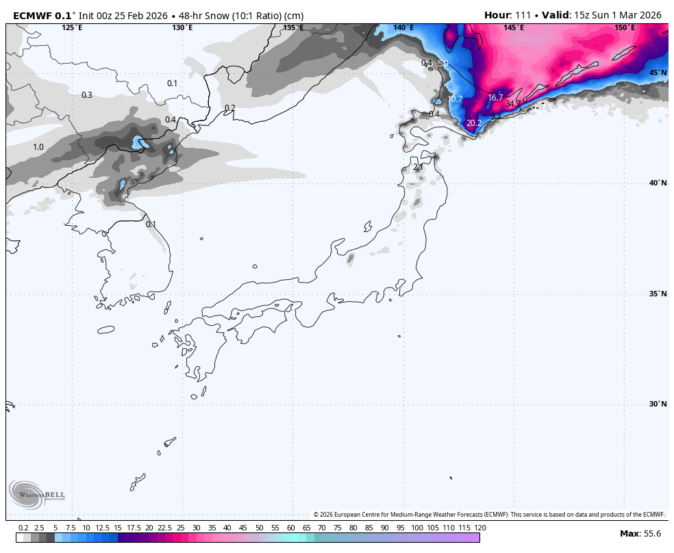
Saturday 28th February & Sunday 1st March
The rain and dense snow will gradually clear Hokkaido on Saturday as the low and its humid easterly flow pull away to the north. Cold northwesterlies on the backside of the low will then rush in, bringing higher-quality Japow showers during the latter half of Saturday into early Sunday. There’ll only be up to 5-10cm at best, but it’ll be the first and last of its kind for a while.
The northwesterlies will also arrive on Honshu early Saturday, but down there, temperatures will have a long way to come down, so the showers that they bring will mostly be wet and will dry up that night, just as snow levels reach low altitudes. Only the mid and upper slopes of some resorts will receive a dusting of dense snow.
Remaining snow showers across the country clear Sunday morning for a fine day.
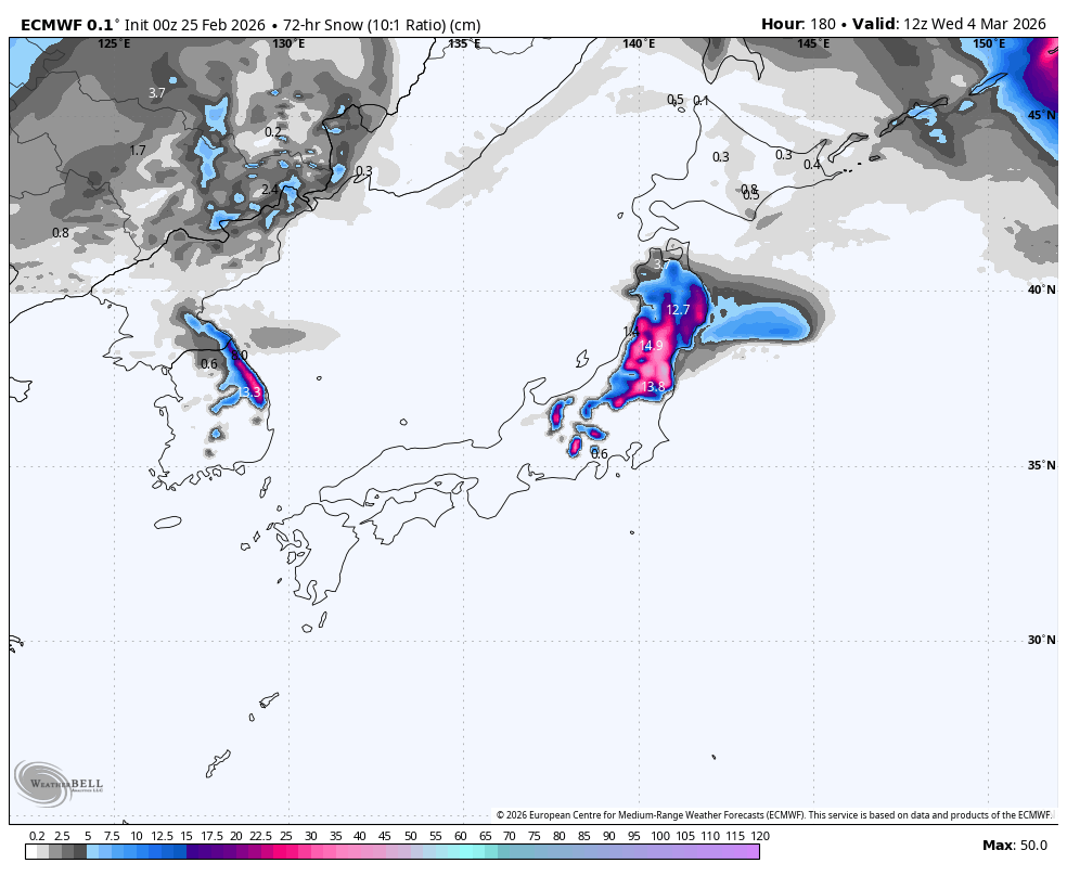
Monday 2nd to Wednesday 4th March
The weather stays fine and dry on Monday as another warm storm system approaches the country from the southwest. Models are still dicey on the details, but this storm should pass over the country sometime during Tuesday to Thursday.
Central Honshu will mostly cop a bunch of rain, but there’s a good chance the heaviest falls will be on the Pacific side again, and a little snow should fall on the storm’s backside.
Either Northern Honshu or Hokkaido, or both, could receive a decent amount of that same dense, un-Japow-like snow from this system, depending on how far north it reaches and where the warm-cold boundary sits. Keep an eye on it.
The next forecast is looking snowier at this point. Fingers crossed it holds, so I can include some bigger numbers this time next week.
That’s all from me today, folks. Have a great week, and I’ll see you here next Thursday for another weekly rundown of Japan’s highlights and snowlights.
Grasshopper
SNOWFALL CHART
更に何かをお探しですか?
人気